Download a Google Earth Engine Image
gd_download(
  x,
  filename = tempfile(fileext = ".tif"),
  region = NULL,
  composite = TRUE,
  overwrite = TRUE,
  silent = TRUE,
  ...
)
Arguments
- x,
ID or Name, or a reference to an object inheriting from
geedim.image.ImageAccessor(for geedim >= 2.0.0) orgeedim.download.BaseImage(for geedim < 2.0.0) orgeedim.collection.ImageCollectionAccessor(for geedim >= 2.0.0) orgeedim.collection.MaskedCollection(for geedim < 2.0.0). See\link{geedim-versions}for more details.- filename
path to output file, defaults to temporary GeoTIFF file path; if
composite=FALSEthen this path should be to a parent directory. File names will be calculated from the internal name of the image and the requested scale.- region
a GeoJSON-like list, or other R spatial object describing region of interest, see
gd_region()andgd_bbox()for details.NULLregion (default) will download the whole image.- composite
logical. Composite Image Collection into single image for download? Default:
TRUE- overwrite
Overwrite existing file? Default:
TRUE- silent
Silence errors? Default:
TRUE- ...
Additional arguments (e.g.
scale) passed togeedim.image.ImageAccessor$toGeoTIFF(...)and, whencomposite=TRUE,geedim.collection.ImageCollectionAccessor$composite()
Value
Invisible path to downloaded image, or try-error on error
Details
The region argument is optional for downloading images. When downloading a composite Image Collection, you must specify region, scale and crs arguments. When downloading an image collection as a set of GeoTIFF files (composite=FALSE), then filename is the destination directory, and scale must be specified.
The default resampling method in geedim is resampling="near" (Nearest Neighbor). Other options for resampling include: "average", "bicubic", "bilinear". See gd_resampling_methods().
See also
Examples
# \donttest{
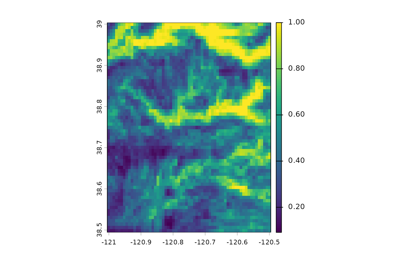
r <- gd_bbox(
xmin = -121,
xmax = -120.5,
ymin = 38.5,
ymax = 39
)
if (gd_is_initialized()) {
x <- gd_image_from_id('CSP/ERGo/1_0/Global/SRTM_topoDiversity')
tf <- tempfile(fileext = ".tif")
# fast sample download at 10x aggregation (900m v.s. 90m)
img <- gd_download(x, filename = tf,
region = r, scale = 900,
overwrite = TRUE, silent = FALSE)
if (requireNamespace("terra")) {
library(terra)
f <- rast(img)
plot(f[[1]])
# inspect object
f
}
unlink(tf)
}
 # }
# }