## rgeedim v0.4.0 -- using geedim 2.0.0 w/ earthengine-api 1.7.32
## terra 1.9.36
## Using Application Default Credentials (ADC)
ee <- earthengine()
# use the earth engine API and reticulate to access
# World Database of Protected Areas <https://developers.google.com/earth-engine/datasets/catalog/WCMC_WDPA_current_polygons>
# filter to a specific area (yellowstone)
b <- ee$FeatureCollection("WCMC/WDPA/current/polygons")$filter(
ee$Filter$And(
ee$Filter$eq("NAME", "Yellowstone"),
ee$Filter$eq("DESIG_ENG", "National Park")
)
)
g <- gd_bbox(b)
# create a terra SpatVector from the GeoJSON-like list from gd_region()
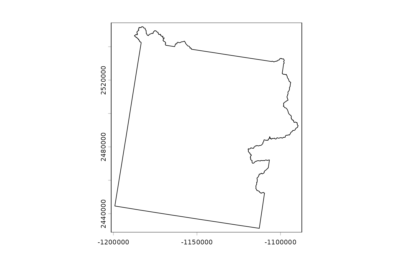
yellowstone <- gd_region(b) |>
gd_region_to_vect() |>
project("EPSG:5070")
# inspect
plot(yellowstone)
# create an Earth Engine asset you can use again in the future
# 250m resolution for Yellowstone extent
"USGS/SRTMGL1_003" |>
  gd_image_from_id() |>
  gd_export(
    region = g,
    scale = 250,
    bands = list("elevation"),
    resampling = "bilinear",
    type = "asset",
    filename = "Yellowstone",
    folder = project_id,
    overwrite = TRUE,
    crs = "EPSG:5070"
  )
## <Task L35226NQJMWUFTCNUJPMWTSZ Type.EXPORT_IMAGE: USGS-SRTMGL1_003 (State.UNSUBMITTED)>
# create a local GeoTIFF from the above created asset
x_path <- sprintf("projects/%s/assets/Yellowstone", project_id) |>
gd_image_from_id() |>
gd_download(
bands = list("elevation"),
resampling = "bilinear",
region = g,
scale = 250,
crs = "EPSG:5070"
)
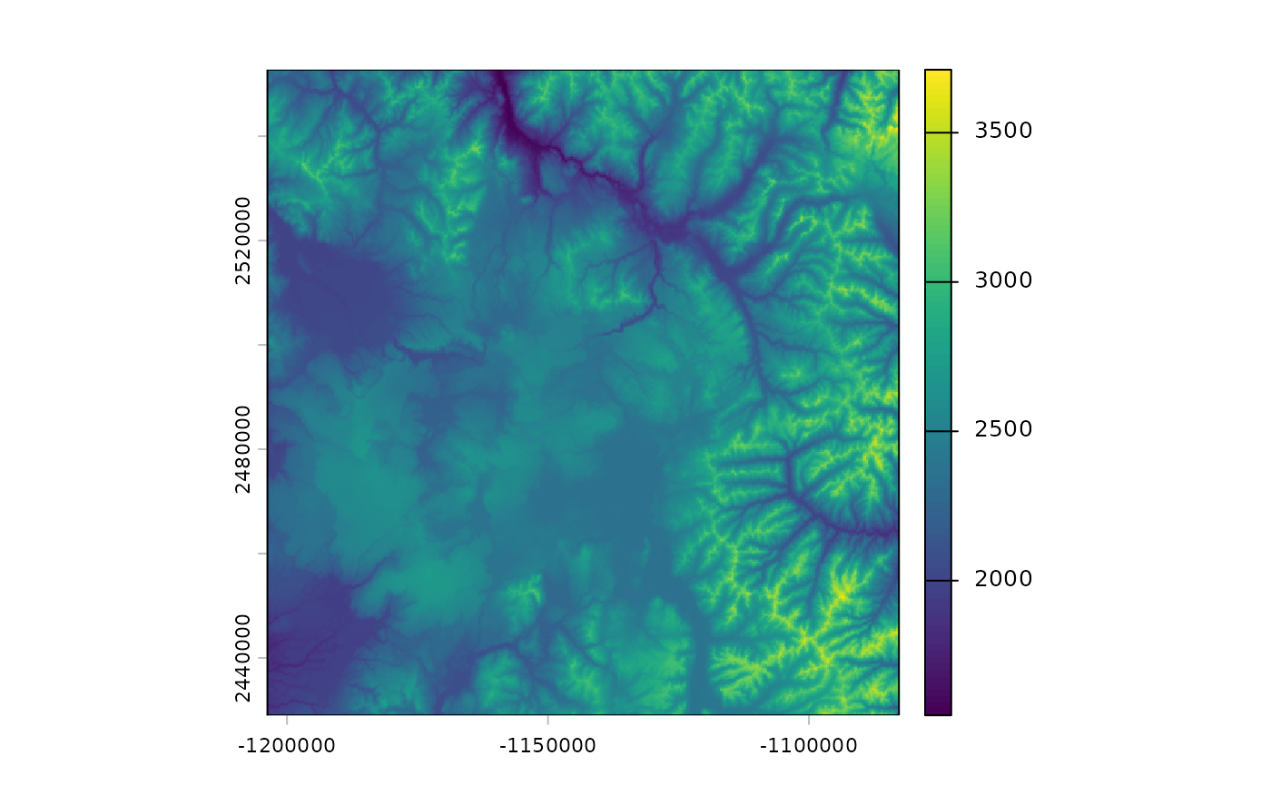
if (!inherits(x_path, "try-error")) {
x <- rast(x_path)
plot(x)
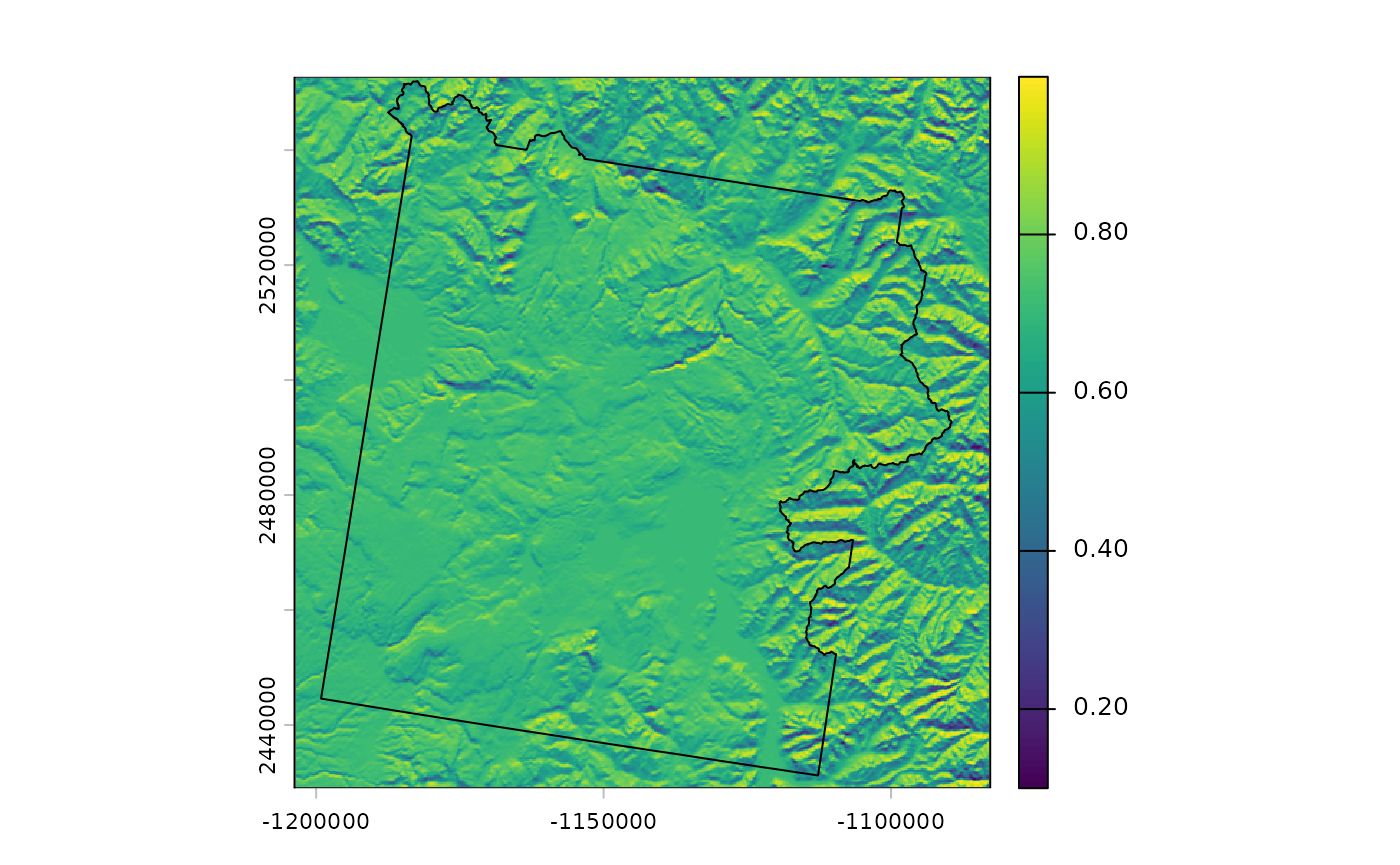
# calculate hillshade locally
slp <- terrain(x, unit = "radians")
asp <- terrain(x, "aspect", unit = "radians")
shd <- shade(slp, asp)
# plot with boundary
plot(shd)
plot(yellowstone, add = TRUE)
# clean up
unlink(sources(x))
}